FIRE RISKS ALIGN WITH WEATHER VARIABLES AND OTHER FACTORS; UNDERSTAND MORE ABOUT THE SEVERITY SCALE
Forest fire risk indices are usually one of the first data that managers, firefighters, and professionals in the forestry production chain analyze when they need to take care of possible cases of ignition.
On the part of firefighters, the methodologies that are empirically most remembered in this context concern the 30-30-30 references. That is, there is an understanding passed on over time, within the corporation, that there is an ideal condition for the propagation of fires when there is a temperature above 30 °C, relative humidity of less than 30%, and winds above 30 km/ H.
In another line, more technical and assertive indices are also methodologically more accepted in different countries. The FWI (Fire Weather Index), for example, is a tool for classifying the meteorological hazard of fire developed by the Canadian Forest Service, which includes indices that quantify precipitation, the number of available fuels, and the respective humidity in addition to temperature and wind intensity.
In addition, the quantification of the Probability of Extremes in the FWI indicates the possibility of a fire already detected having a significant energy release to the point of causing a severe fire and difficulty to fight. Weights are classified into: low, moderate, high, very high, and maximum.
This primary indication, often passed on by word of mouth by those who usually deal with extreme situations, having as evidence only online indicators, which present the FWI indices in the same region, is faced with obstacles not always remembered, such as severe weather conditions and human influence on the ground, which affect in a very special way the propagation of fire directly in a place.
More strategic, data that focus on the point of interest are only brought by more current indicators, encompassing more precise variables, with clear results and consolidated data.
Quiron Digital Flareless solution considers temperature, humidity, wind incidence, and more than 12 variables to calculate fire risk, delivering a detailed map with a spatial resolution of 10 meters. Some variables are dynamic and therefore need constant monitoring, as they can be influenced directly by meteorological changes and anthropic influence (human factors) of each location, such as the amount of combustible material available for burning, in addition to vegetative conditions that may influence ignition.
“In a very large area, it becomes complex to evaluate indices since these data usually come from meteorological stations, providing low-resolution monitoring. With these data alone, we cannot identify the real risk of each location, as we are only seeing the extrapolation of data between seasons and disregarding the vegetative and human factors that occur in each location, or the relief itself, which is not included in these indices. Thus, in practice, free fire risk maps present in a simplified way the meteorological severity conditions associated with the occurrence of fire”, recalled Adam Marques, Master in Forestry Engineering and Head of Research and Development at Quiron.
At Quiron, there are six classifications used in fire risk:
- Null
- Low
- Moderate
- High
- Very high
- Extreme
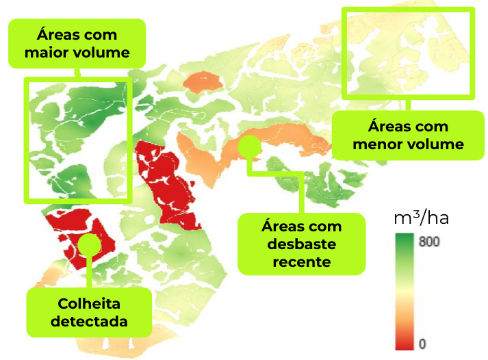
In addition to these, there is also an indication of black dots, specific points located on the available map where the problem of fire dispersion can be more critical. The example below shows how graphics and images work on the Quiron platform.


FREE ACCESS PORTALS ALSO SHOW FIRE INDEXES; SEE COMPARISON
Tools available free of charge on the internet also show the possibility of fire occurrences. Less accurate, these indices do not consider all the factors evidenced by Quiron’s Flareless solution.
SEE THE EXAMPLES
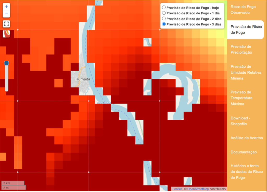
Quiron’s prediction in Humaitá (AM), in August 2021:

Data from INPE – (Brazilian) National Institute for Space Research, in the same period:
INMET assessment, in the same location:
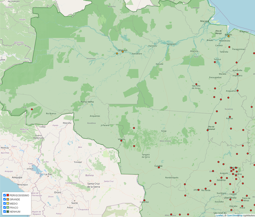
On the new platform, Quiron’s prediction on May 3, 2022, pointed to almost 80% of the monitored area in the Três Lagoas region (MS) as very high for fire occurrence. Follow the monitoring in real-time here: